Recon Line Mission
Recon line drone missions, also known as linear surveillance missions, are commonly used in surveillance and reconnaissance applications where the drone needs to capture images or video along a specific linear feature or area, such as a border, a coastline, or a pipeline. In a recon line drone mission, the drone flies along a predefined flight path, following the linear feature. This mission is designed for automatic path following with manual payload control. This data obtained can then be used to monitor and detect any activity or changes along the linear feature or area. Line recon drone missions are particularly useful in applications such as border patrol, coastal surveillance, or infrastructure security, where the drone needs to continuously monitor a specific path or feature for potential threats or incidents.
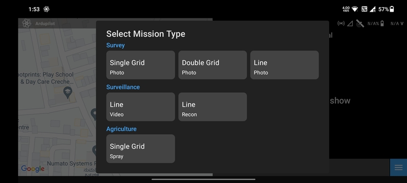
Create Mission
Select the Recon Line mission type in the Mission List Screen to create
the mission. This will open the Mission Planning Screen.
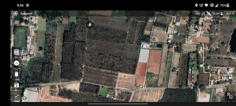
Drawing
Ensure that the Add/Remove Vertices button has a negative sign. Then tap anywhere on the screen a marker will be
displayed which marks the first waypoint.
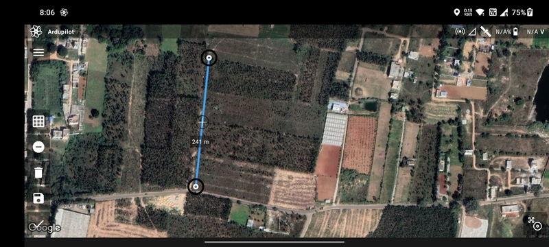
Tap where you want to create the second waypoint. The blue line joining the two points is the path that will be followed by the drone.
Repeat the process to add more waypoints.
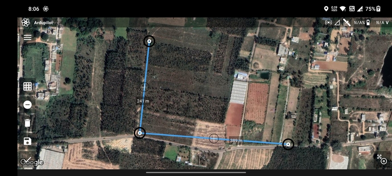
You can add or edit waypoints as mentioned in Mission Planning Screen.
Parameter Selection
The following parameters are available for a Recon Line mission:
AltitudeRTL AltitudeSpeedEnd Action: Whether the drone should perform anRTLorHoverat the last waypoint.
Based on the parameters selected, the following values are calculated and displayed:
Total WaypointsTotal DistanceTotal DurationMax Distance
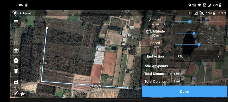
Once done, click on the Done button to move on to the Flight Screen.